


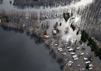
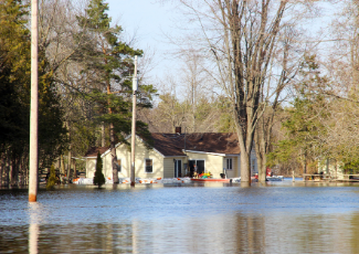
Quinte Conservation monitors water levels, rainfall, and snow melt to assess flood and drought conditions. Review the information below for current river flows, trends, lake levels, and comparison to flood levels. We rely on the Water Survey of Canada gauge network for flows in the rivers and the Department of Fisheries and Oceans for Lake Ontario water levels at Cobourg and Kingston. The Government of Canada website has Lake Ontario wind and wave forecasts and an animated wave model. The International Lake Ontario – St. Lawrence River Board provides Lake Ontario outflows.
CAUTION: Provisional Data
The information provided below is in its raw form and has yet to be checked for errors and omissions. This data should not be used for decision making concerning personal or public safety or the conduct of business. Quinte Conservation makes no warranties and assumes no liability whatsoever regarding the truth, accuracy, currency, or completeness of the information contained within this website.
Click the '+' symbol to expand the menu for more information on current water levels.
| Interactive Water Levels Mapping Application |
|
Launch Water Levels GIS Viewer Members of the public can use this mapping application to investigate recent water level and precipitation trends within Quinte Conservation watersheds. Click on a station to display near real-time flows, water levels and monthly averages; or, select a watershed for current conditions and summaries. |
| Lake Ontario Levels Summary Table |
| River Flows Summary Table |
| Graph and Download Station Data |